← Home · Seismic

Seismic Microzonation Studies in Abbotsford

Together, we solve the challenges of tomorrow.

LEARN MORE →

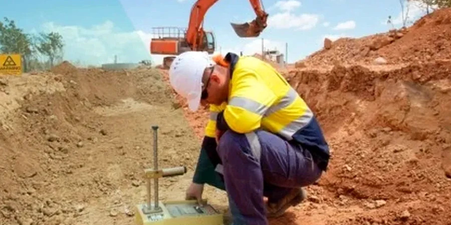
Abbotsford sits on a complex patchwork of glacial till, glaciomarine silts, and Sumas River floodplain deposits. This isn't uniform ground. The Fraser Valley trough amplifies long-period shaking, and pockets of soft clay just a few meters thick can double the spectral acceleration at surface. In our experience, a single UBC site class assigned by zip code doesn't capture that variability. We run seismic microzonation surveys to map Vs30 transitions across the property, picking up buried channels or loose alluvium that change site response within a single building footprint. That data feeds directly into NBCC 2020 ground motion selection and eliminates the guesswork from your structural design. When the Sumas clay layer pinches out unexpectedly, the difference shows up in a MASW profile before it shows up on a structural drawing.

A one-size site class from a regional map can miss a 3-meter soft lens that shifts the spectral plateau by 0.2 seconds in Abbotsford's Sumas sediments.

Process and scope

Abbotsford's 2021 census counted over 153,000 residents, and the city is adding multi-family wood-frame and mid-rise concrete buildings at a pace we haven't seen since the post-flood rebuild cycles. That density puts pressure on marginal land. We're seeing more projects proposed on Class D and E profiles along the Sumas Prairie edge where soft lacustrine clays extend 10 to 25 meters deep. A proper microzonation study here doesn't just report a single Vs30 number. We map lateral variation across the site, measure fundamental period with HVSR, and correlate shear wave velocity with SPT blow counts from SPT drilling to validate the geophysical model against physical samples. The result is a site-specific response spectrum that often reduces the design spectral acceleration compared to the NBCC default for the area, saving foundation concrete and steel.
Seismic Microzonation Studies in Abbotsford
Technical reference image — Abbotsford

Local ground factors

NBCC 2020 Article 4.1.8.4 requires site classification based on direct Vs measurement or proxy from SPT/Cu for structures assigned to seismic design. In Abbotsford, using the default Class C assumption where Sumas lacustrine silts are present is a liability. We've measured Vs30 drops from 350 m/s to 190 m/s over less than 40 meters laterally on a single commercial lot near the Trans-Canada corridor. The structural consequence is real: moving from Site Class C to Site Class E can increase the design spectral acceleration Sa(0.2) by 40 to 60 percent depending on the period range. A targeted microzonation study identifies the boundary, lets the structural team treat each foundation element with the correct response spectrum, and provides the geotechnical basis to challenge overly conservative assumptions during peer review.

Need a geotechnical assessment?

Reply within 24h.

Email: contact@geotechnicalengineering.xyz

Reference parameters

ParameterTypical value
Vs30 classification range180 m/s (Class D) to >760 m/s (Class C)
Survey depth of investigationTypically 30 m, extendable to 60 m
Number of measurement pointsMinimum 3 lines per 0.5 ha site
Fundamental site period (T0)0.1 s (stiff) to 0.8 s (deep Sumas clay)
Spectral acceleration mappingSa(0.2), Sa(0.5), Sa(1.0), Sa(2.0)
Reporting standardNBCC 2020 site classification per Table 4.1.8.4.A
Data acquisition24-channel MASW spread, 4.5 Hz geophones

Complementary services

01

MASW and Vs30 Mapping

Active-source surface wave survey with 24-channel spread. We produce 2D Vs cross-sections and a Vs30 contour map for your site. Standard deliverable for NBCC site class determination.

02

HVSR Fundamental Period Survey

Single-station ambient noise measurement. Fast method to identify resonance frequency of soft deposits. Useful for screening large parcels before detailed MASW lines.

03

Site-Specific Response Spectrum

We combine Vs profiles with nearby seismic hazard data to generate a ground motion response spectrum tailored to your coordinates, depth to bedrock, and soil damping characteristics.

Regulatory framework

NBCC 2020 – Seismic site classification and ground motion selection, CSA A23.3-19 – Seismic design requirements for concrete structures, ASTM D4428/D4428M-14 – Crosshole seismic testing (applicable to Vs profiling)

Common questions

How much does a seismic microzonation survey cost in Abbotsford?

Budget between CA$5,140 and CA$26,180 depending on total area, number of MASW lines, and whether an HVSR screening phase is added. A typical half-hectare commercial lot with three MASW spreads runs in the lower half of that range.

What's the difference between a microzonation study and a regular site classification?

Standard site classification often assigns one soil class to the entire property. A microzonation maps lateral variation. If the Sumas clay is thicker on one side of your building pad, the microzonation captures that and lets you design each foundation element to its actual local ground conditions, not an average.

How many MASW lines do we need for our Abbotsford site?

We follow a minimum of three lines for sites up to half a hectare, arranged in a grid to catch lateral changes. On larger industrial parcels in the Sumas Prairie we add intermediate lines where the water table or clay thickness is expected to vary.

Can a microzonation reduce our design loads compared to the default NBCC site class?

Yes, that's one of the main reasons clients request it. If the regional map defaults you to Class D but our Vs30 measurements show stiff Class C material across 80% of the pad, the structural engineer can use the lower spectral values on those footings, saving reinforcement and concrete.

Location and service area

We serve projects in Abbotsford and surrounding areas.

View larger map